Autonomous Drone SoftwaresFor Next Generation of Aerial Intelligence
Ground Control Software • Mission Planning • Simulation • AI & Analytics
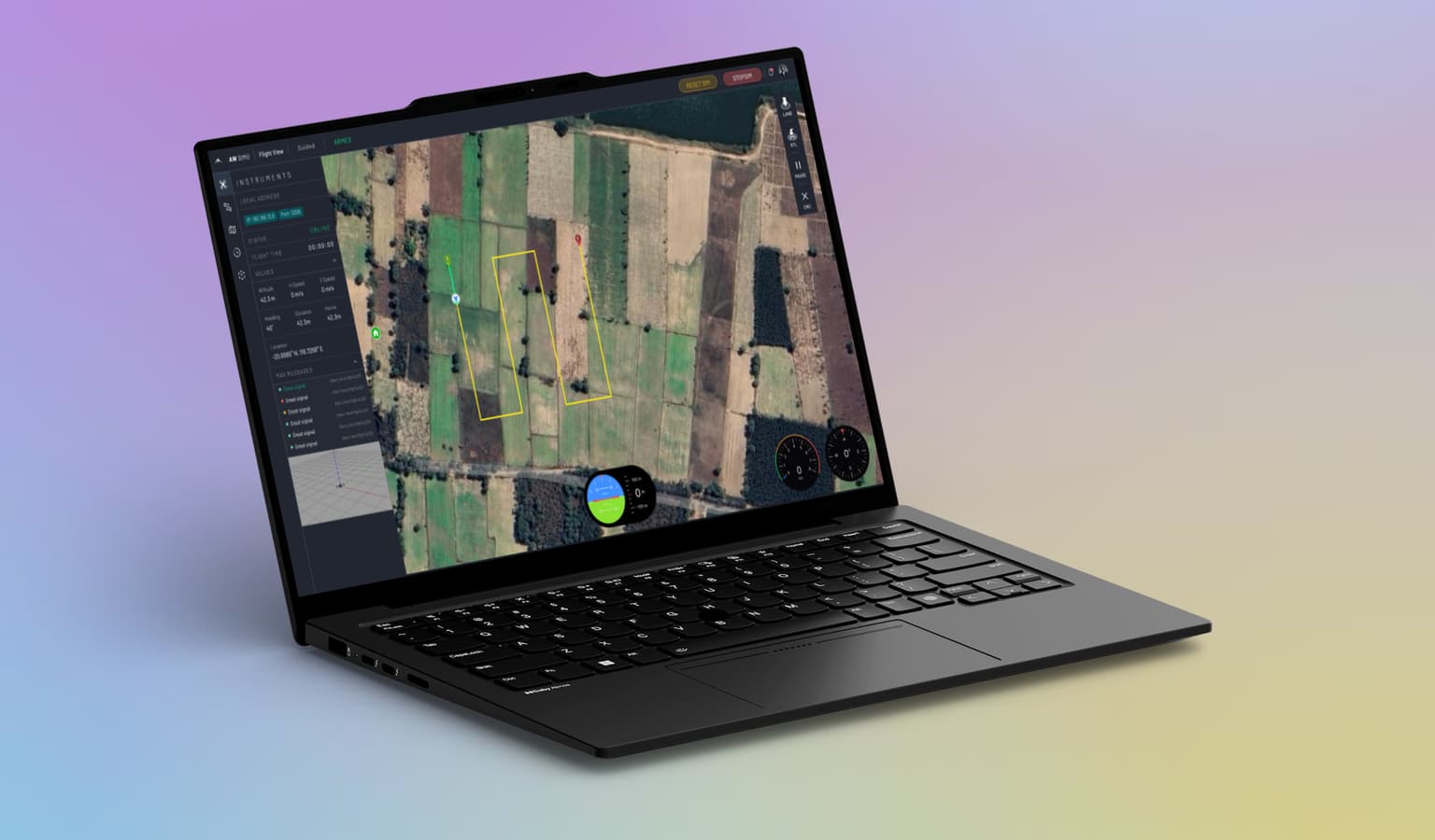
Complete Drone Software Stack
From simulation to real-world operations, Ailwing powers autonomous drone systems through a unified software ecosystem.
Engineering Excellence in Drone Software
We're not just building software – we're shaping the future of autonomous aerial systems with cutting-edge technology and deep domain expertise.
Software-First Company
We focus on building world-class software. Our solutions integrate seamlessly with your existing drone fleet.
Built by Engineers
Founded and operated by experienced drone and aerospace engineers who understand real-world challenges.
Enterprise-Grade Architecture
Scalable, secure, and reliable systems designed for mission-critical operations across industries.
Standards-Based
Full compatibility with MAVLink, ArduPilot protocols for seamless integration.
Powering Innovation Across Sectors
Our software solutions are deployed across diverse industries, enabling safer and more efficient drone operations.
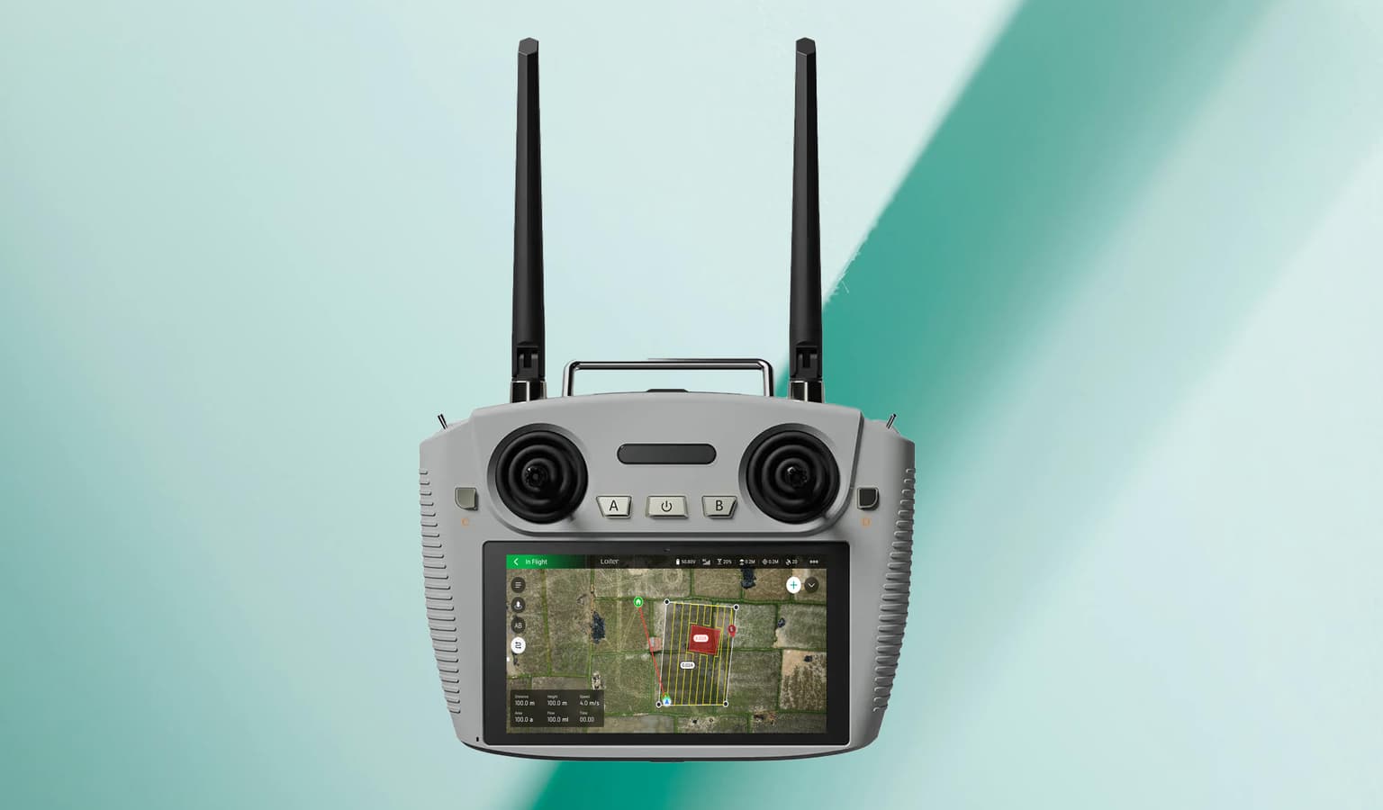
Agriculture (Spraying Operations - Software)
Automated spraying missions with optimized coverage paths.
Research & Education
Simulation-first training, testing, and validation workflows.
Defence & Government
Secure mission planning, rehearsal, and system integration.
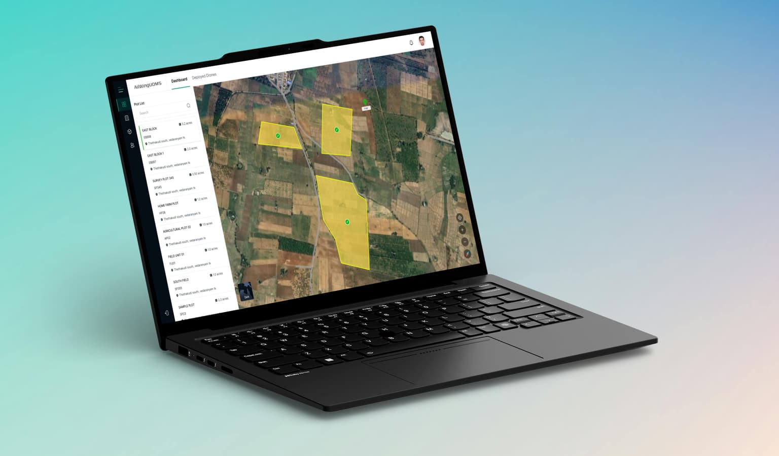
GIS Platforms for Govt & Public Sectors
GIS-enabled platforms for geo-tagged capture, dashboards, and workflows.
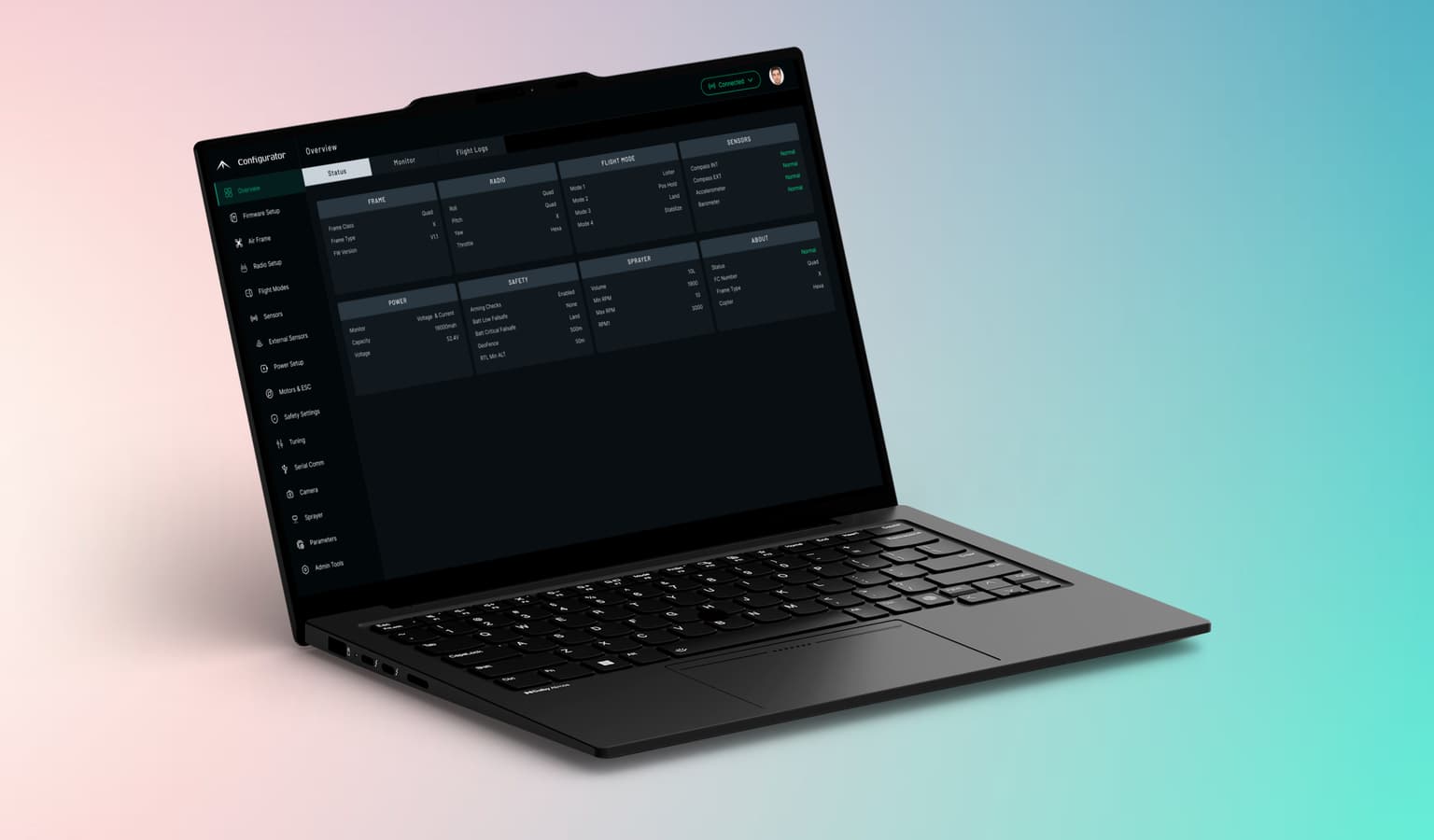
Aerial Systems & Drone Platforms
Ground control software, integrations, and simulation-driven validation.
AI-Enabled Drone Applications
AI-assisted mission workflows validated through simulation and field use.
Ready to Transform Your Drone Operations?
Whether you’re looking for a demo, partnership opportunities, or have questions about our solutions, we also customize our software to match your workflows and operational requirements.